
Why Wind Can Feel Different Across One Yard
Two people can stand a few metres apart and honestly describe different wind conditions. One may be beside a wall, hedge, or narrow passage; the other may be in an open patch. The difference is not automaticall
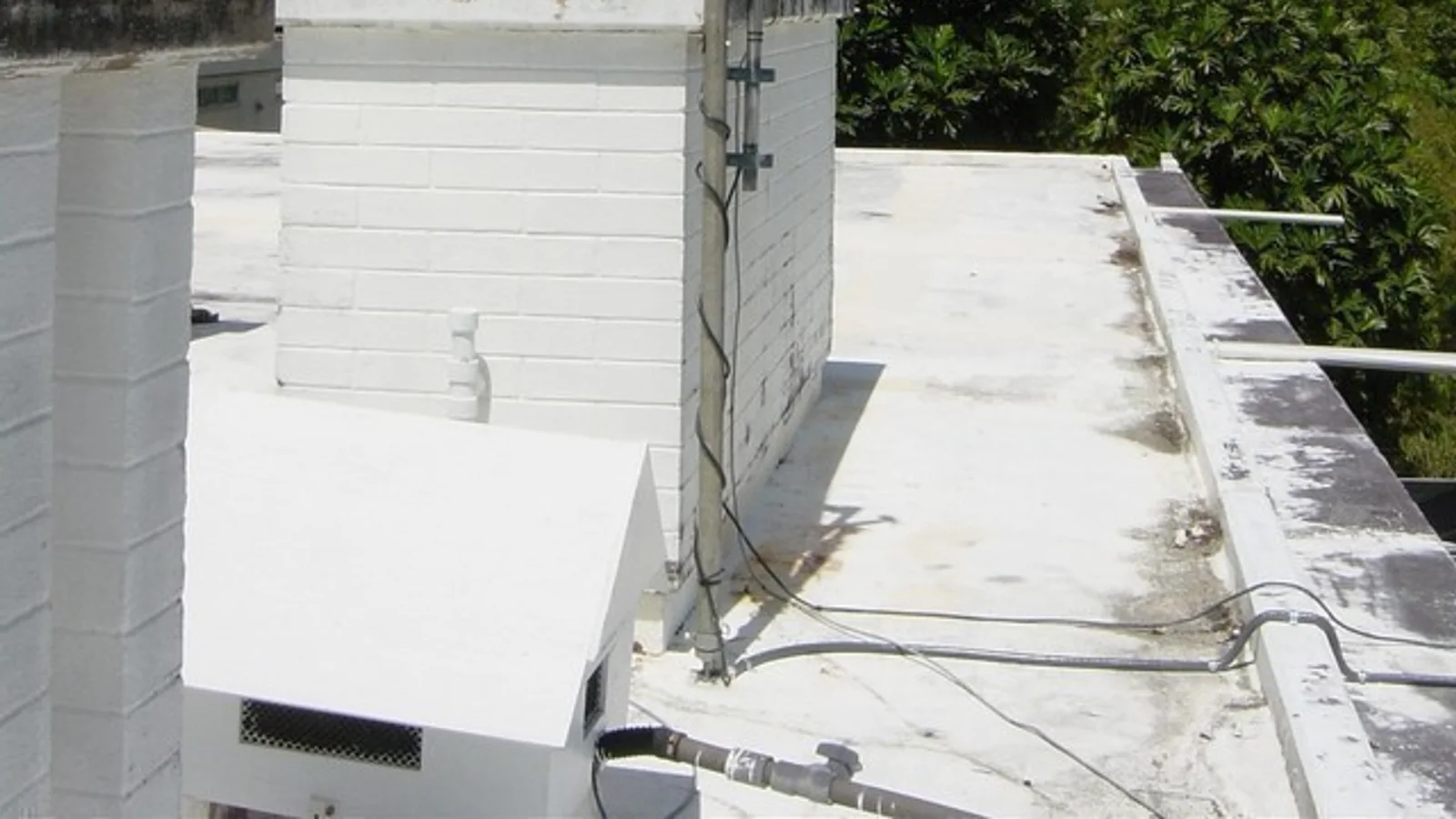
Two people can stand a few metres apart and honestly describe different wind conditions. One may be beside a wall, hedge, or narrow passage; the other may be in an open patch. The difference is not automatically a contradiction. Nearby objects can alter or shelter the flow before it reaches the observer, so the local cue may differ.
The useful question is not “Which person felt the real wind?” It is “What did each position expose the observer to, and what area can that note reasonably represent?” A sheltered-versus-exposed comparison can improve a personal record, but it cannot turn one yard into a regional wind station.
A wall, hedge, or passage changes the observation
Nearby walls, hedges, trees, and passages can alter or shelter a local wind cue. A sheltered courtyard may therefore feel calm while an open corner is breezy at the same time; this comparison records the difference without assigning a precise flow mechanism.
This is why official observing programmes care about exposure. The WMO Siting Classification describes siting as a way to judge how well an instrument location meets observing recommendations and notes that nearby obstacles can affect representativeness. The classification is not a pass mark for every home yard; it is a reminder that the surrounding geometry belongs in the interpretation.
The variable matters too. A wall that changes a wind note may also make a nearby surface warmer in sunshine. A tree or building beside a rain gauge can deflect falling precipitation. The National Weather Service’s cooperative-observer siting guidance gives these as network-siting concerns: temperature shelters need representative, ventilated surroundings, and precipitation gauges need protection from obstacle-driven turbulence. Those are standards for a specific observing programme, not a universal correction formula for a home observation.
Compare two positions without pretending they are interchangeable
Choose two safe places that you can describe clearly. Call them Position A and Position B rather than “good” and “bad.” For each one, record:
- Height: standing height, sensor height, or another repeatable level.
- Nearby objects: walls, fences, trees, sheds, parked vehicles, or roof edges.
- Direction: where the wind cue came from, using your chosen convention.
- Surface: grass, paving, soil, roof, or another local surface.
- Time: the same minute or a clearly stated time gap.
- Cue: what moved—leaves, smoke, a flag, loose paper, or nothing visible.
Do not move into traffic, climb, stand under unstable branches, or approach exposed electrical equipment to improve the comparison. A safe incomplete note is better than a risky “open” position.
Here is a hypothetical comparison:
| Field | Position A | Position B |
|---|---|---|
| Place | Beside the south wall of a shed | Open grass patch east of the shed |
| Nearby objects | Wall 1 m west; hedge 3 m south | Shed 7 m west; low fence 8 m north |
| Time | 17:05 local | 17:07 local |
| Cue | Leaves moved in short pulses; smoke unavailable | Leaves moved steadily; a loose flag extended east |
| Direction note | Movement away from the wall, exact wind-from direction uncertain | Flag pointed east; wind-from direction not inferred from this cue alone |
| Limitation | Sheltered near the wall; exact local effect not measured | Still local; tree line beyond the fence not documented |
The two entries can both be true. Position B gives a stronger exposed-site description for that moment, while Position A records what a person beside the wall actually experienced. Neither entry establishes the wind across the whole neighbourhood.
What “more exposed” can and cannot mean
“More exposed” is a description of surroundings, not a guarantee that the wind speed is higher at every instant. A gust can arrive at one position a few seconds before another. A cue observed at one height may not match a cue at another, so record height rather than treating the positions as interchangeable. A paved surface may affect temperature context without being the reason a wind cue changed.
Use cautious language:
- “The open patch showed steadier movement than the shed-side position during this two-minute comparison.”
- “The wall may have sheltered the local cue; the effect was not measured.”
- “The flag direction was recorded, but wind-from direction was left unknown.”
- “This comparison describes two positions, not the area’s official wind.”
Avoid statements such as “the wall reduced the wind by 40%” unless you have a documented measurement method that supports that number. The NOAA US Climate Reference Network site-selection guidance uses spatial representativeness and long-term site stability as network criteria. That is a useful contrast: a network asks whether a site represents its intended region, while a home note may only be able to describe a local exposure.
Make the comparison repeatable
If you repeat the walk, keep the positions, order, and observation time as consistent as practical. Photograph or sketch each place from a safe distance. Add a north arrow, rough obstacle distances, and any change such as a trimmed hedge, parked van, new awning, or construction wall. If a distance is estimated, label it as estimated.
Record the method before looking for a conclusion. A short entry might read:
> 18:10 local, Position A beside shed wall: leaves intermittent, no flag available. Position B open grass: leaves continuous, flag extended. Light rain began at 18:13. Wall, hedge, and fence unchanged since yesterday. Cause of the difference unknown.
This keeps observation, context, and uncertainty together. If the difference disappears on a calmer day, that does not prove the earlier note was wrong; it may mean the flow interacted differently with the same obstacles.
The NOAA NCEI Historical Observing Metadata Repository shows how station photos and location histories document exposure, identify obstacles that may reduce winds, and record changes that could affect observation accuracy. A home observer can borrow the documentation habit without borrowing the station’s status or precision.
When to stop making a local comparison
Stop when the question changes from “What did these two positions feel like?” to “What wind will affect my route, roof, trees, or event?” A yard comparison cannot issue a warning or replace the relevant local forecast. Use Wind Direction: What Beginners Often Record Incorrectly for the direction convention, How to Check Whether a Home Weather Station Is Measuring Well for instrument plausibility, and How Temperature Changes Across a City for a different kind of spatial comparison.
The honest conclusion is often modest: “These two positions produced different local cues at this time, and the surrounding objects are a plausible influence.” That conclusion is useful because it tells the next reader what to compare, while leaving regional wind and safety decisions to the appropriate official information.